
Map Composer
Authoring

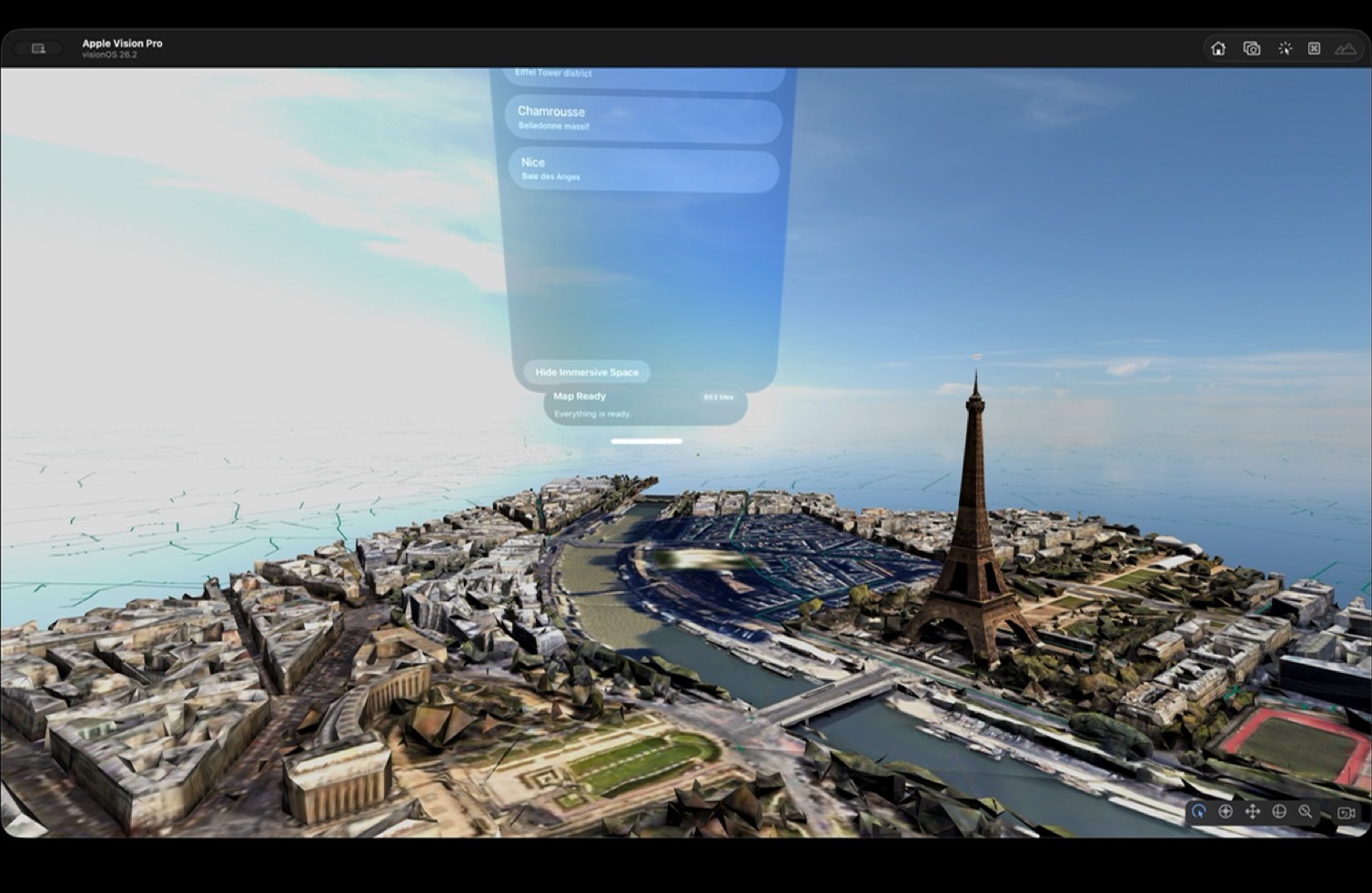
Paris overview
5 layers active
Executive preset
Package draft
- Place anchors and saved viewpoints
- Audience presets and guided scenes
- Media attachments and publish flow
macOS
Author spatial experiences without building a custom app
Build immersive map packages with places, layers, saved views, media attachments, and guided scenes in a visual authoring environment designed for fast iteration. One package can support multiple audiences and multiple moments in the same briefing.


